

An Overview of Nigeria
Nigeria is a country located in West Africa. It shares land borders with Benin, Cameroon, Chad, and Niger and shares maritime borders with Equatorial Guinea, Ghana, and São Tomé and Príncipe. It is the most populous country in Africa, with an estimated population of 213.4 million as of 2021.
Nigeria experiences three major ranges of climate namely; tropical monsoon climate in the south, tropical savannah climate in central regions, and a Sahelian hot and semi-arid climate in the north. It also possesses diverse geographical features, such as coastal areas, savannahs, rainforests, and semi-arid regions. Nigeria is popular for its significant oil reserves, which makes it a major player in the global energy market. It is also home to a growing economy and various industries.
Nigeria’s Hazard Level
According to the United Nations Office for Disaster Risk Reduction, hazards are any process, phenomenon, or human activity that may cause loss of life, injury or other health impacts, property damage, social and economic disruption, or environmental degradation. Nigeria’s geographical location makes it highly prone to certain hazards and less prone to other hazards.
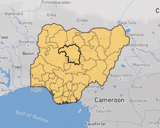
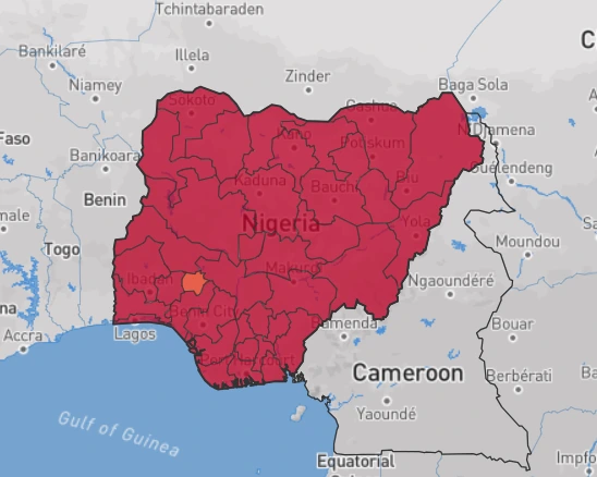
Hazards occupying the very low to low spots include; Earthquakes and tsunamis. This means that there is less than a 2% chance of a potentially-damaging earthquake shaking Nigeria in the next 50 years. Tsunamis which refer to tidal waves that wreak havoc in many countries particularly, in South-East Asia, however, have more than a 2% chance of occurring in the next 50 years. It is important to note that the event of a tsunami increases as global mean sea level rises. According to the IPCC (2013), global mean sea level rise depends on a variety of factors and estimates for 2100 range from ~20 cm to nearly 1 m. Nonetheless, low-lying coastal areas like the niger delta area, or island states like Lagos, may be more susceptible to tsunamis if the global sea level increases.
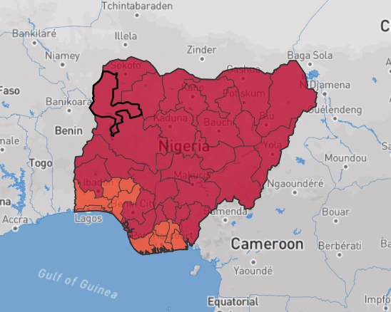
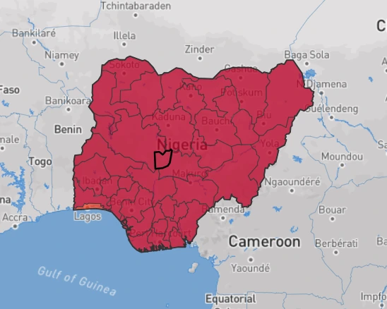
In the event of an earthquake or tsunami, the figures below show areas in Nigeria susceptible.
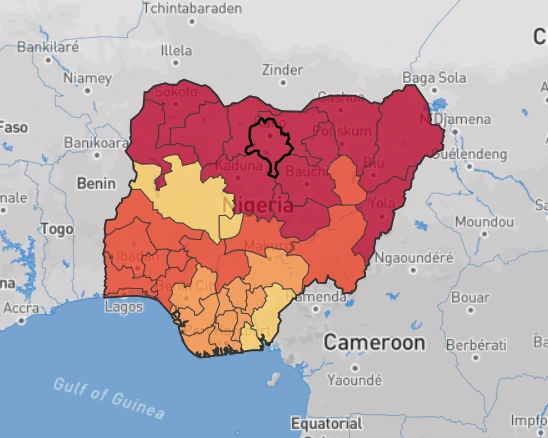
Note: (applies to all figures)

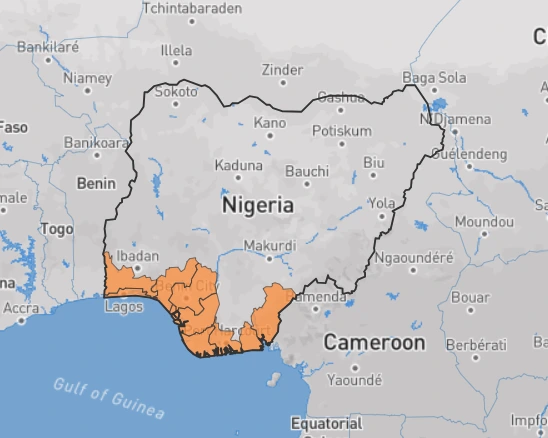
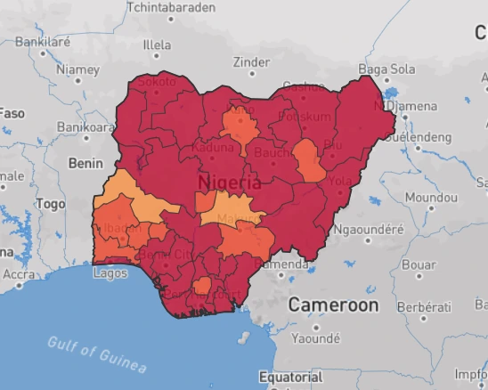
Hazards occupying the medium spot include; landslides and volcanic eruptions. Nigeria’s characteristic rainfall patterns, terrain slope, geology, soil, land cover, and (potentially) earthquake occurrence make localized landslides an infrequent hazard phenomenon. However, climate change is also likely to alter slope and bedrock stability through changes in precipitation and/or temperature. Some areas in Nigeria are situated less than 50 km from a volcano where a potentially damaging eruption was been recorded in the past 10,000 years, which also shows the possibility of future damaging eruptions.
The figures below show areas in Nigeria susceptible to landslides and volcanic eruptions.
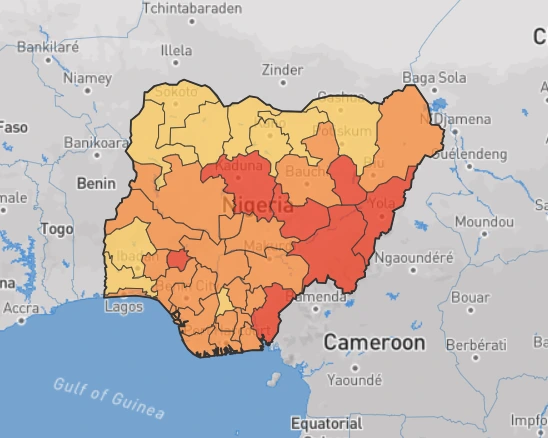
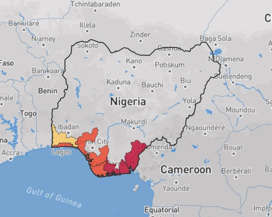
Hazards occupying the high spot include; river, urban, & coastal flood hazards, water scarcity, extreme heat hazards, and wildfire hazards. In Nigeria, potentially damaging and life-threatening river and urban floods as well as coastal waves are expected to occur at least once every 10 years. While droughts are expected to occur on average every 5 years. Drought levels may likely increase in the future due to the effects of climate change.
In addition, prolonged exposure to extreme heat, resulting in heat stress, is expected to occur at least once in five years. According to the assessment report of the Intergovernmental Panel on Climate Change (IPCC, 2013), continued emissions of greenhouse gases will cause further warming, and it is virtually certain that there will be more frequent hot temperature extremes over most land areas during the next fifty years. However, warming will not be regionally uniform. In Nigeria, the temperature increase in the next fifty years will be slightly lower than the worldwide average, but still significant.
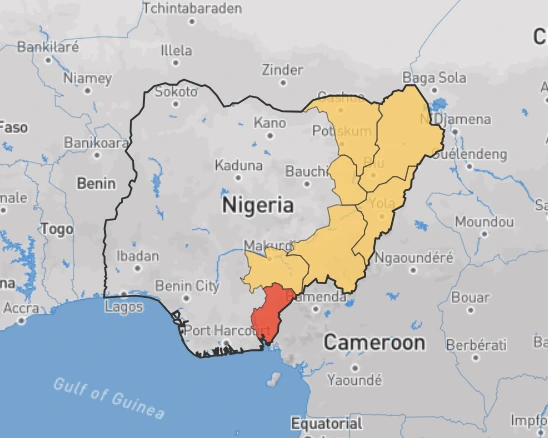
The wildfire hazard is potentially high in Nigeria as there is greater than a 50% chance of encountering weather that could support a significant wildfire likely to cause life and property loss in any given year.
Damages can not only occur due to direct flame and radiation exposure but also through coal storms and low-level surface fire. In extreme fire weather events, strong winds and wind-born debris may also weaken the integrity of infrastructure. Nigeria is particularly prone to an increase in the frequency of fire weather occurrence, an increase in temperature, and greater variance in rainfall.
Certain factors like past wildfire occurrences and weather conditions, are responsible for the prolongation of fire and drought seasons.
The figures below show areas in Nigeria prone to river, urban, & coastal flood hazards, water scarcity, extreme heat, and wildfire.
NB
Data for this article was gotten from Global Facility for Disaster Reduction and Recovery.
The figures are copyrights of Mapbox and OpenStreetMap.
