

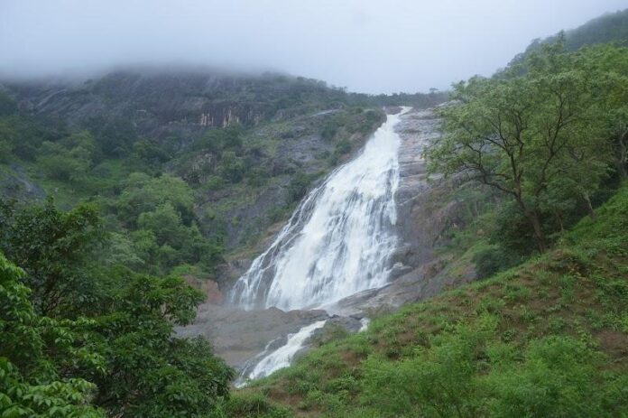
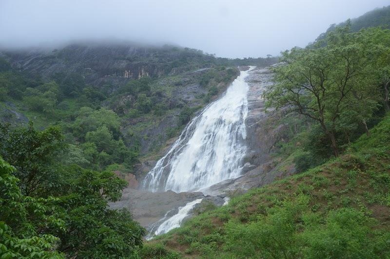
Farin Ruwa has a total vertical drop of roughly 150 metres (492 feet), placing it among Nigeria’s highest waterfalls.
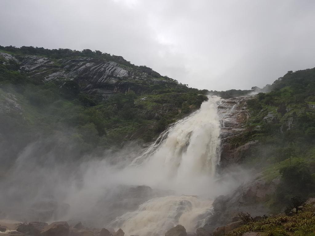
The Hausa name Farin Ruwa translates to “white water.” As the water crashes down the rocky escarpment, spray and foam give it a striking white appearance, particularly from a distance.
Although the waterfall is in Nasarawa State, its water originates from the Jos Plateau around Bokkos in Plateau State before cascading down into the Massange area of Nasarawa.
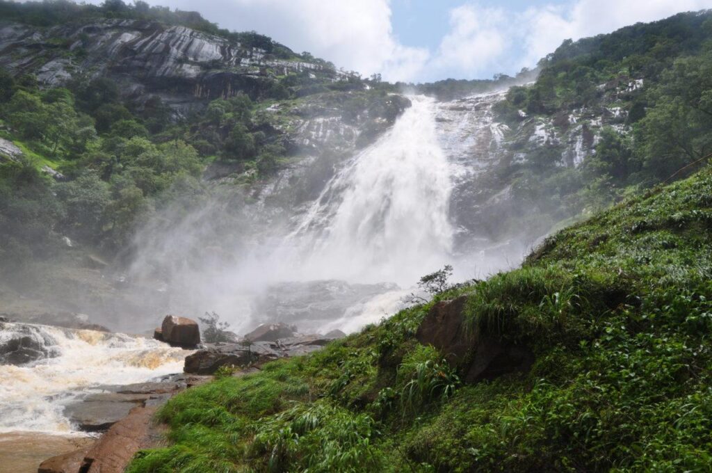
The falls are located in Massange village, Farin Ruwa Development Area, Wamba LGA, Nasarawa State, close to the boundary with Plateau State. This unusual geography means the waterfall is closely connected to communities on both sides of the state boundary.
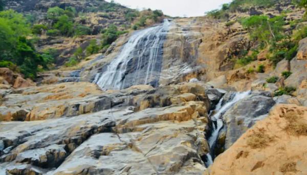
Farin Ruwa was reportedly known to the indigenous Kulere-speaking community of Massange before becoming known more widely. British colonial authorities popularised the site in the 1950s and established a catering rest house near the falls.
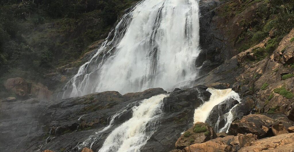
The colonial administration reportedly gazetted the surrounding forest as the Mayes Forest Reserve, recognising the area’s environmental and heritage value.
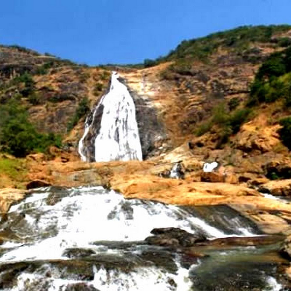
Farin Ruwa isn’t merely a pretty waterfall. Its enormous water flow has long been viewed as having hydroelectric potential. A 2021 report cited estimates that the falls could support more than 40 megawatts of electricity, although that figure should be treated as a development estimate rather than current generating capacity.
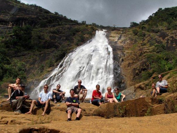
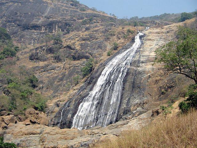
During the rainy season, the surrounding mountains receive substantial rainfall, increasing the volume and force of water cascading over the escarpment. The flow reduces during the dry season before rising again with the rains.
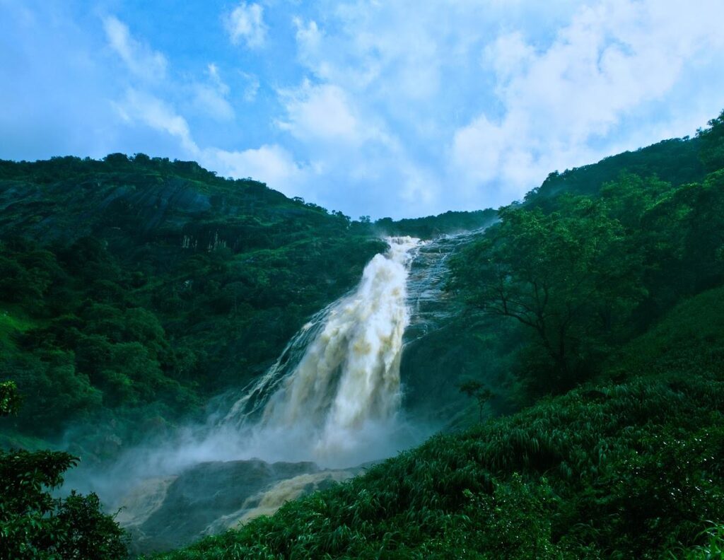
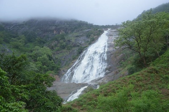
Despite its height and scenic value, Farin Ruwa has historically suffered from poor roads, inadequate accommodation and limited tourism infrastructure. Various governments have proposed developing the area with facilities such as hotels, chalets and recreational attractions, but its tourism potential remains substantially underexploited


