

Mambilla Plateau sits at an average elevation of about 1,600 metres (5,250 feet) above sea level, making it the highest plateau in Nigeria. Some parts rise even higher, giving visitors spectacular panoramic views.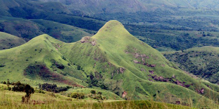
The plateau is home to Chappal Waddi, which rises to 2,419 metres (7,936 feet) above sea level. It is the highest mountain in Nigeria and one of the highest points in West Africa.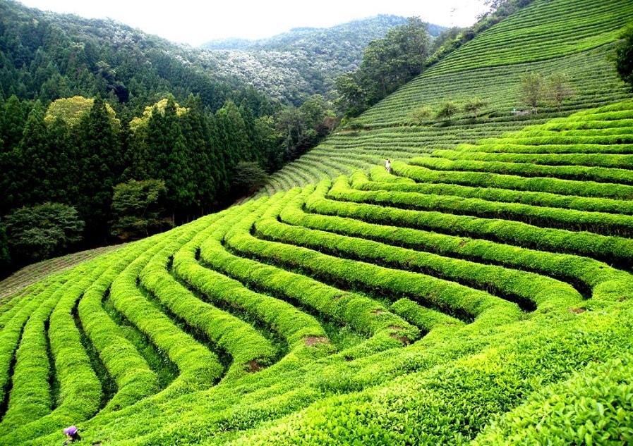
While many parts of Nigeria experience scorching heat, daytime temperatures on the Mambilla Plateau rarely exceed 25°C, making it one of the country’s coolest places. During certain mornings, mist blankets the hills, creating scenery that resembles parts of Europe.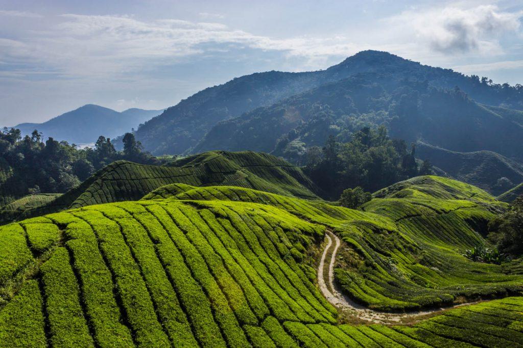
The plateau’s cool climate supports large tea plantations, including the well-known Highland Tea estates. It is one of the very few places in Nigeria suitable for commercial tea cultivation.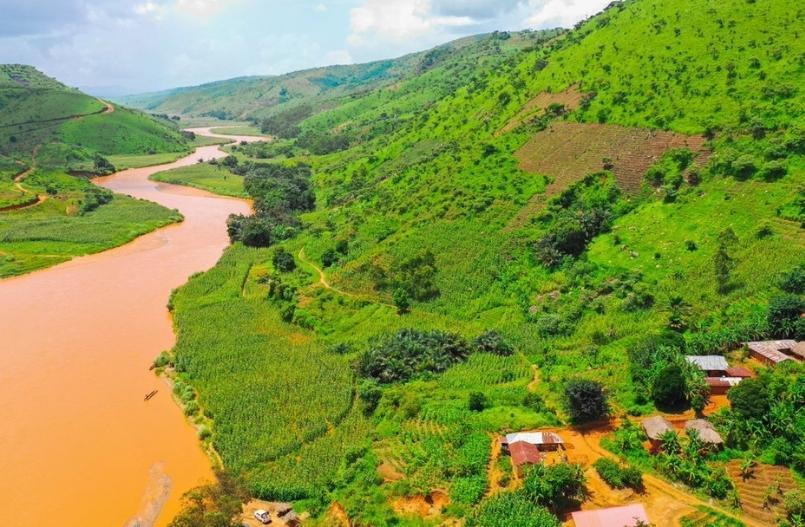
Instead of dense rainforest, much of the plateau is covered with rolling grasslands, grazing cattle, winding roads, valleys and scattered forests, giving it a landscape unlike most of tropical Nigeria.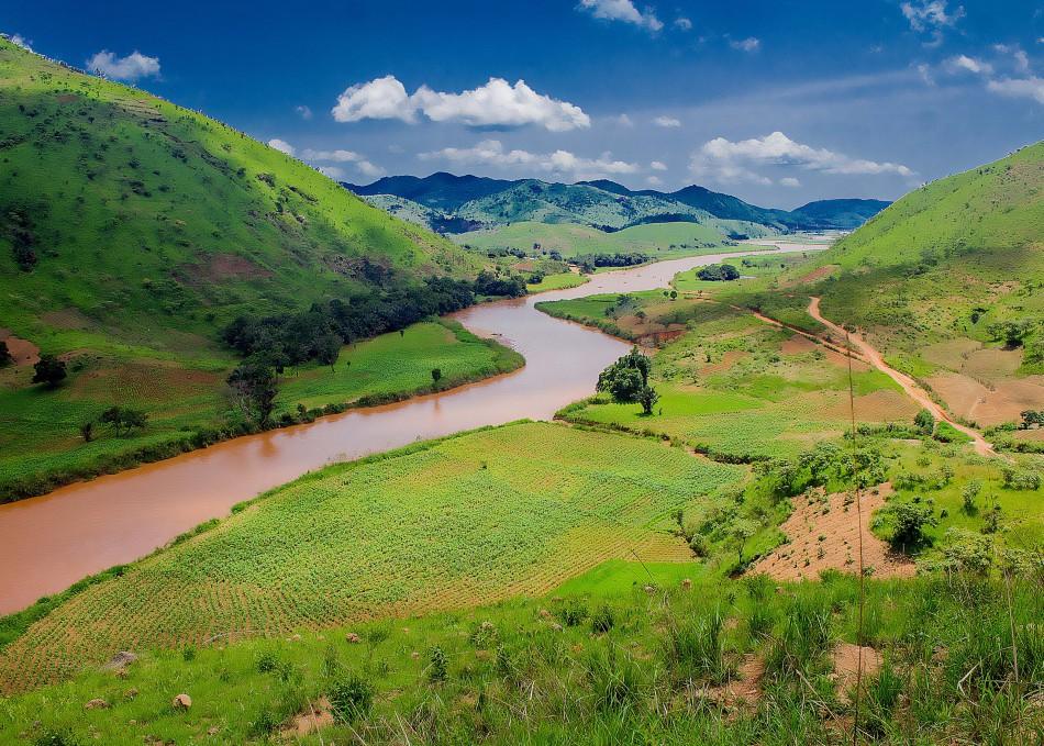
The Mambilla Plateau serves as the source of the Donga and Taraba rivers, which later become important tributaries within the Benue River system.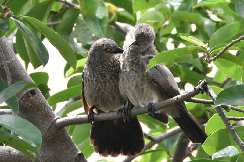
The plateau and nearby Gashaka-Gumti National Park support numerous rare bird species, unique wildlife, and rich biodiversity, attracting researchers and nature enthusiasts from around the world.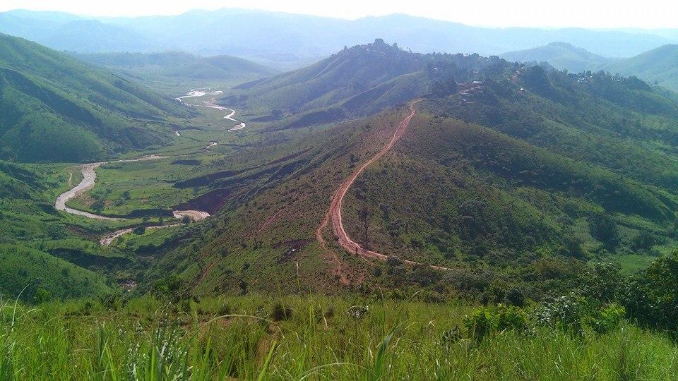
The southern and eastern edges of the plateau form steep escarpments overlooking Cameroon, creating breathtaking cliffs and viewpoints that stretch across the international border.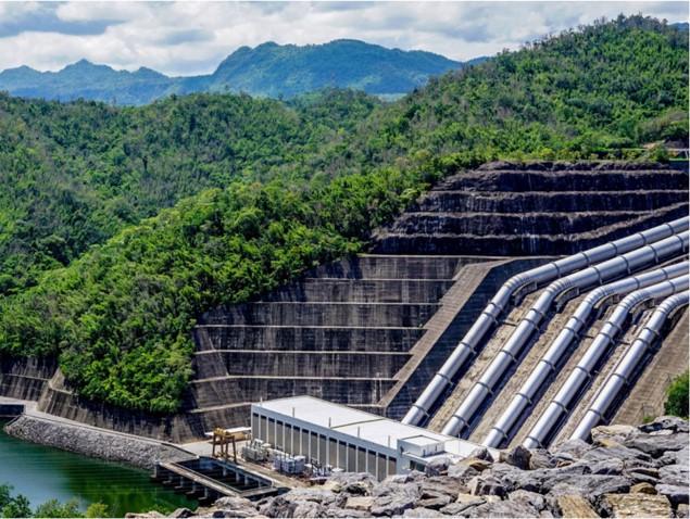
The long-planned Mambilla Hydroelectric Power Project, once completed, is expected to become one of Africa’s largest hydroelectric schemes, with the potential to significantly boost Nigeria’s electricity generation.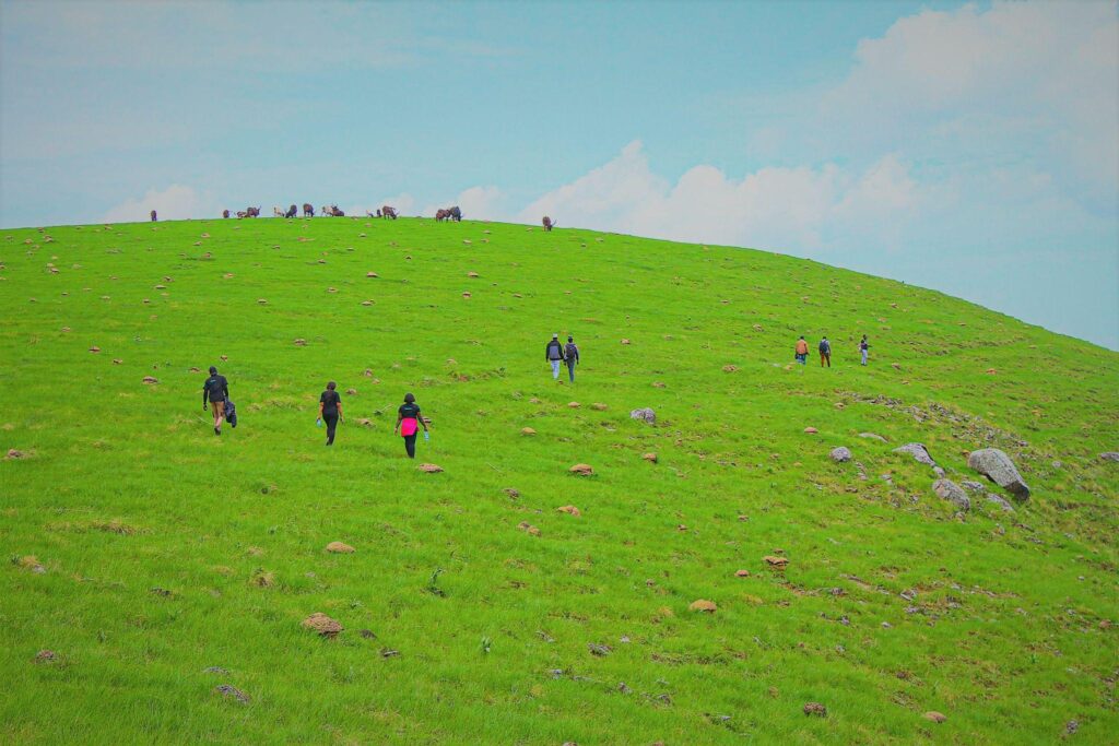
Despite its mountains, waterfalls, cool climate, tea plantations and spectacular scenery, Mambilla Plateau remains far less visited than many of Nigeria’s better-known tourist destinations, making it one of the country’s hidden gems.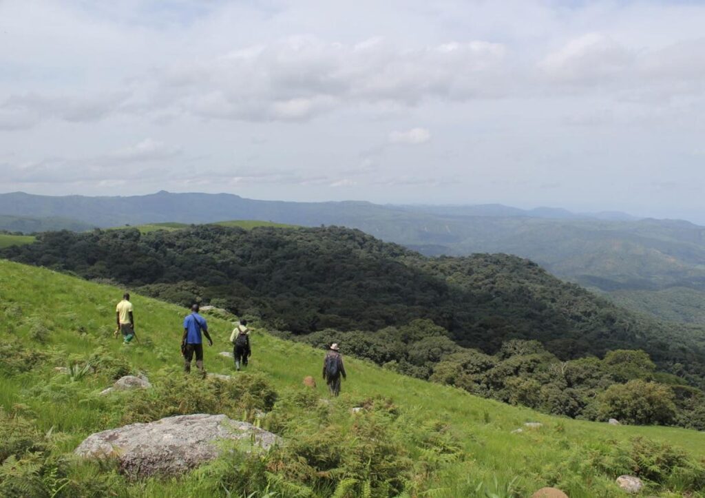
Bordering the Mambilla Plateau is Gashaka-Gumti National Park, Nigeria’s largest national park. Covering over 6,700 square kilometres, it is home to chimpanzees, elephants, buffaloes, leopards, and hundreds of bird species, making the plateau a gateway to one of West Africa’s richest wildlife habitats.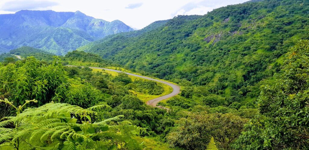
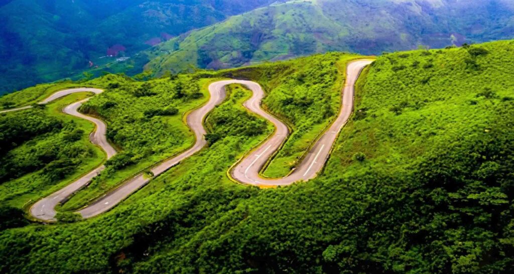
Reaching the Mambilla Plateau involves driving through dramatic hairpin bends, deep valleys, steep escarpments, and breathtaking mountain scenery. The winding ascent to Gembu is widely regarded as one of the most scenic road trips in Nigeria, offering spectacular views at almost every turn.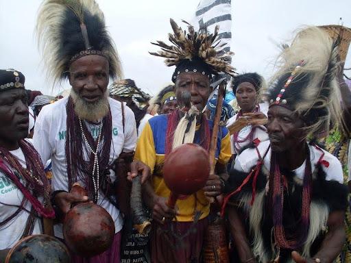
The Mambilla Plateau derives its name from the Mambilla people, one of Nigeria’s oldest ethnic groups. They have lived in the region for centuries and are renowned for their rich cultural heritage, traditional festivals, distinctive art, music, and farming practices that have been preserved across generations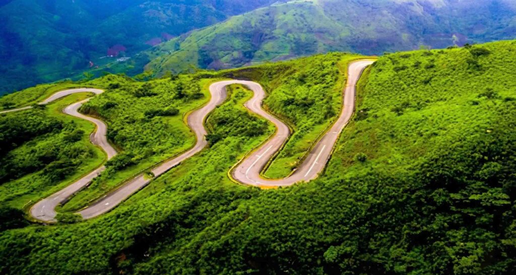
Amazing Facts You Probably Didn’t Know About Mambilla Plateau in Taraba State
—

Subscribe
Login
Please login to comment
0 Comments
Oldest
More like thisRelated
Kylie Jenner Wears $50m Fantasy Bra at Victoria’s Secret Show

American media personality Kylie Jenner, 29, walked the Victoria's...
NAFDAC, Regulatory Failure and Poison in the Marketplace

The National Agency for Food and Drug Administration and...
Angry Youths Chase Zamfara Deputy Governor Away During Visit

Youths in Gwashi community, Bukkuyum Local Government Area of...
RULAAC Accuses Anambra Security Boss Over Man’s Arrest, Alleged Shooting, Disappearance of Gatekeeper

The Rule of Law and Accountability Advocacy Centre (RULAAC)...

